Ascent of Bobotov Kuk
- 05:00
- 10 km
- 1100 m
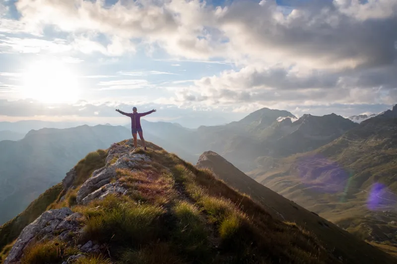
Prutaš (2,393 m) is one of the most striking peaks in the Durmitor range. Despite its monumental appearance, it is considered one of the most accessible 2,000-meter summits in the area—an ideal choice for mountain hikers looking for a short but rewarding hike with panoramic views.
The hike begins by the road at the Todorov Do junction (approx. 1,750 m), about a 20-30 minute drive from the town of Žabljak.
The first section heads left past the Pištet watering place, then runs between gullies before climbing steeply beneath the grassy, rocky slopes of Prutaš. As you gain elevation, the terrain changes too—pastures gradually give way to rocky and scree sections that lead all the way to the saddle at 2,230 m.
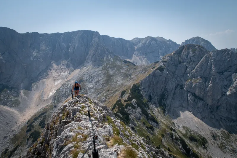
From the saddle, the route turns right and continues up several rocky steps, but no climbing skills are required. This is followed by an ascent up a grassy slope to the broad summit of Prutaš, which offers a unique 360-degree view of the entire Durmitor massif.
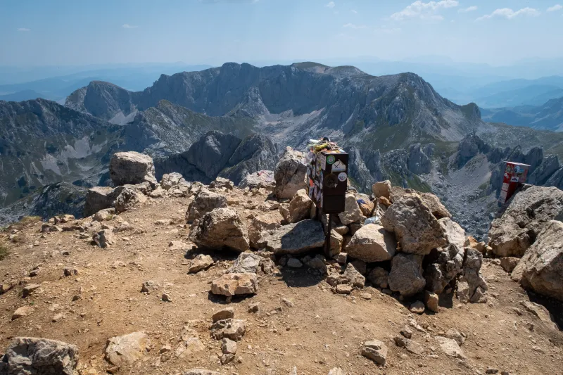
Directly below lies the Škrka Valley with its lakes of the same name. Looking east, the skyline is dominated by a high rocky ridge with the peaks of Bezimeni vrh (2,487 m), Bobotov Kuk (2,523 m), and Devojka (2,440 m). To the right stands Štit (2,236 m), notable for its twisted geological layers. In the background behind it, the summit of Sedlena greda (2,227 m) peeks into view.
To the north stretches the Šušica Canyon, while to the south lie the grassy plains of Durmitor. In clear weather, you may also spot the mountain groups of Bioč, Volujak, and Maglić to the west—the highest mountain in Bosnia and Herzegovina.
Before the final climb, the path passes a junction with the eastern route from Sedlo and turns toward the impressive western face of Prutaš. The summit ridge is narrower and rockier in places, but still without any climbing sections.
You return to Todorov Do along the same route.
By car
Drive along the narrow asphalt road connecting Žabljak and Plužine to the Todorov Do junction. Parking is available by the roadside.
By bus
Take a bus from Podgorica to Žabljak, the main tourist center of Durmitor. There is no bus connection to the trailhead, so your best option is to find an affordable taxi in Žabljak.
You can try checking timetables here, but take them with a grain of salt:
None