Volušnica
- 04:00
- 6.6 km
- 770 m
Očnjak (2,185 m) is a striking rock tower that dominates the upper end of the Grebaje Valley. The ascent is short but steep, exposed in places, and technically demanding—suitable only for experienced mountain hikers with sure footing.
The ascent starts in the Grebaje Valley at the Suljova Česma spring, about 6 km from the town of Gusinje.
At first, the trail winds through forest, and within the first kilometer and a half you gain around 550 vertical meters. The climb is steady and steep, but still technically easy in the forest.
Above the forest, look out for a right turn onto a path heading toward Očnjak. After a short wooded section, the route opens into scenic terrain among mountain meadows.
Below Očnjak, the trail bends right beneath the rock wall, followed by a very steep ascent where you quickly gain height. The terrain here is loose and scree-covered, with sliding stones, and every step requires full attention.
A small grassy spot with panoramic views offers a short break, where the trail turns sharply left.
From here begins the most difficult part of the ascent to Očnjak—the section is partly protected by steel cables. These can be used for balance and support, or even for clipping in a via ferrata set if you wish (some hikers use one here, but it is not strictly necessary).
This section cannot be crossed without some easy rock scrambling. If you do not have experience in similar terrain, it is better to skip the ascent to Očnjak.
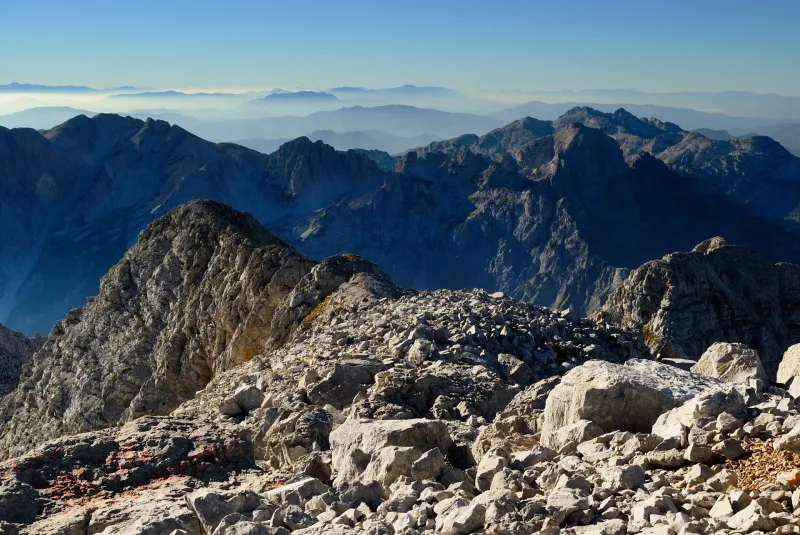
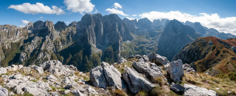
After the demanding climb, the summit of Očnjak rewards you with truly spectacular views—not only of the surrounding Prokletije peaks, but also of more distant mountains across the Albanian border.
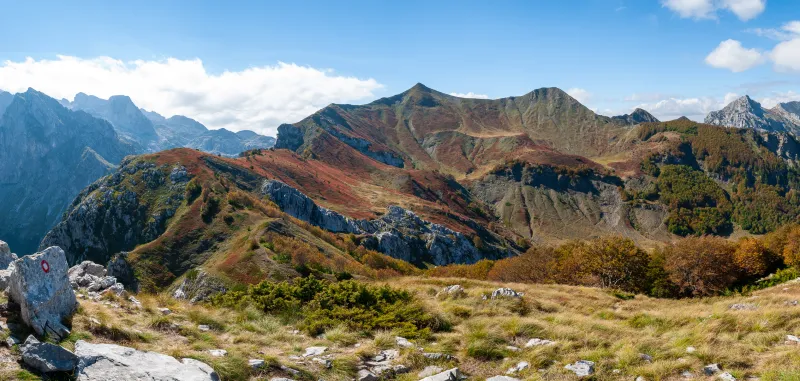
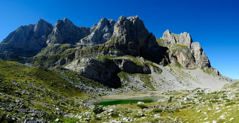
Directly below lies the Grebaje Valley, while opposite rise Volušnica and Talijanka, two other popular viewpoint peaks. To the south, you can also spot the highest summit of the entire Prokletije range—Maja Jezerce (2,694 m).
The rocky summit does not offer much room to rest, and in windy weather there is nowhere to shelter.
The descent follows the same route as the ascent and requires even more caution—especially on the steep sections with loose stones. Wet ground or fog can make the hike significantly more difficult.
By car
Driving is the most practical option. You can go all the way to the end of the valley, where there is plenty of space to park. In the valley, you will pay an entrance fee for Prokletije National Park.
By bus
Take a bus to the town of Berane, from where buses frequently run to Gusinje, a small town about 7 km from the trailhead in Vusanje.
You can try checking timetables here, but take them with a grain of salt:
There is only the spring at the start of the hike; higher up, there is no water.