Volušnica
- 04:00
- 6.6 km
- 770 m
A beautiful hike with magnificent views of the jagged peaks of the Prokletije range. This circular route over Volušnica and Talijanka is one of the finest hikes in all of Montenegro.
The hike starts in the Grebaje Valley, a few kilometres from the town of Gusinje. Entry to Prokletije National Park is charged, and the fee is collected in the valley.
From the valley floor, Volušnica looks like a steep, hard-to-reach summit — but don’t let that put you off. The trail climbs from the other side along a comfortable path through beech forest. The first roughly 450 metres of ascent are pleasantly graded and go by surprisingly quickly.
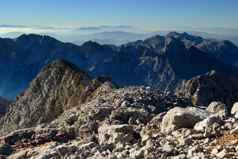
Once you rise above the tree line, the view opens up to grassy slopes and the ridge you will later follow. At this point, though, nothing yet hints at just how spectacular the views from the ridge will be.
At the junction in the meadow above the forest, turn left and climb the remaining roughly 200 vertical metres across grassy slopes to Volušnica. A stream flows above the junction, but the water is not ideal for drinking without filtering, as sheep often graze on the surrounding slopes.
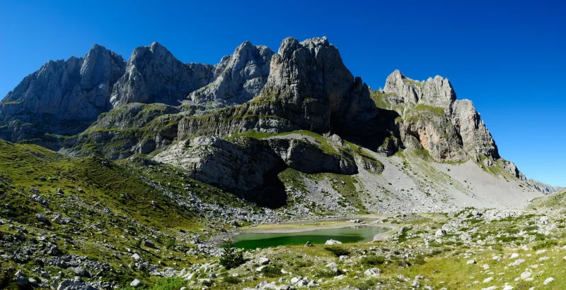
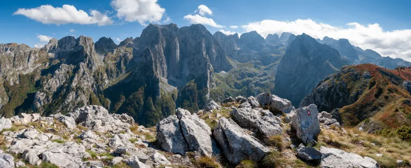
Volušnica is the first summit and a well-known viewpoint. This is where the iconic view of the Karanfili ridge opens up, with its limestone walls rising sheer high above the green Grebaje Valley. The pyramid-shaped summit of Očnjak also stands out clearly. Far below you, you can spot several mountain huts and the meadows in the valley where you started.
From Volušnica, the grassy ridge continues to Talijanka, which lies directly on the Montenegrin–Albanian border. The climb is gentle, and the views into both countries become more and more impressive.
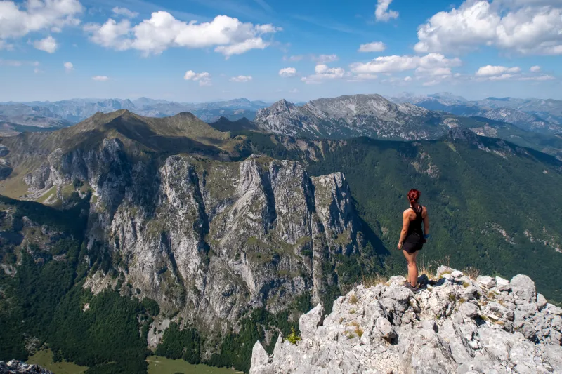
Talijanka (2,057 m) is the highest point of the entire hike. The summit is broad, comfortable, and ideal for a break — whether for panoramic photos or simply for quietly taking in the landscape. In good weather, views reach deep into Albania.
A short stretch along the border ridge brings you to Popadija (2,030 m) — the third and final summit of the day.
From Popadija, the trail turns back to the Montenegrin side and descends across grassy slopes to the Cafa saddle (1,874 m), then continues to the junction at the edge of the meadow above the forest.
The rest of the descent follows the same forest path back to the starting point in the valley.
By car
Driving is the most practical option. You can go all the way to the end of the valley, where there is plenty of space to park. The entrance fee for Prokletije National Park is paid in the valley.
By bus
Take a bus to the town of Berane, from where there are frequent buses to Gusinje, a town about 7 kilometres from the hike’s starting point in Vusanje.
You can try looking up timetables here, but take them with a grain of salt:
Streams in the meadows above the forest. Sheep often graze nearby, so it is a good idea to filter the water before drinking. In late summer and autumn, the streams may be dry.