Sveto Brdo – ascent to Velebit’s second-highest peak
- 06:00
- 15.5 km
- 1200 m
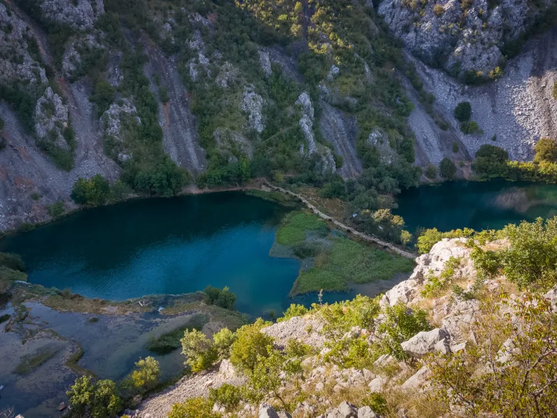
Sveto Brdo (1,751 m) is the second-highest peak in the Velebit range and one of the most spectacular summits you can hike to in Croatia. This route starts right by the sea and leads through abandoned hamlets, mountain pastures, and past a mountain shelter all the way to the summit with breathtaking views. Climbing Sveto Brdo from the coast is an unforgettable outing for fit hikers.
The hike to Sveto Brdo starts on the coast in the village of Modrič, just a few kilometres from the well-known Paklenica canyon. In Modrič, there is a bus stop and a small free parking area right by the road, where you can park conveniently.
The marked trail first climbs above the village and winds along a well-maintained path through limestone rocks and scrub. After about 200 metres of ascent, you cross a gravel road and pass through the abandoned hamlet of Stanići, where you can still see crumbling stone houses and grassy terraced slopes.
This is followed by a steeper climb through sparse woodland, gaining roughly 400 vertical metres. The trail brings you to an open mountain plateau with pastures, where you join a gravel track used by off-road vehicles. After about 1.5 km, you turn left off it and continue over gently rolling terrain to the ruins of the Church of Sveti Ivan – a photogenic spot with beautiful views.
Nearby there is a muddy watering hole, which may serve as an emergency water source if absolutely necessary (and after filtering).
From the Church of Sveti Ivan, the marked route continues uphill to the saddle below the rocky summit of Vlaški Grad (1,383 m), where you’ll find a modern mountain shelter of the same name at 1,280 m.
Just a few dozen metres below the shelter, the Donji izvor spring flows from a pipe and is usually a reliable place to refill water. The views from here stretch across the steep slopes of Velebit, into the Paklenica canyons, and back toward the sea coast.
Beyond Vlaški Grad comes the final climb – first to a saddle at about 1,500 m, then the remaining 250 vertical metres to the summit of Sveto Brdo.
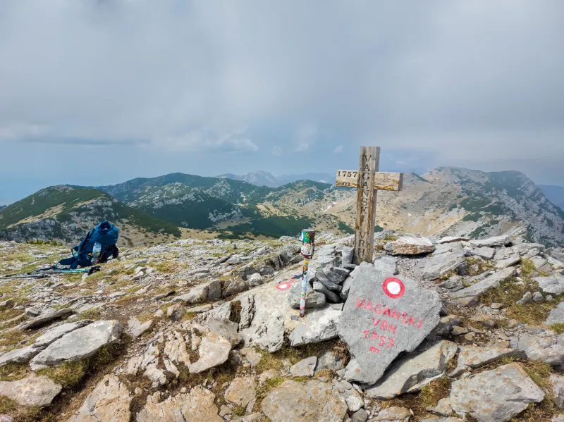
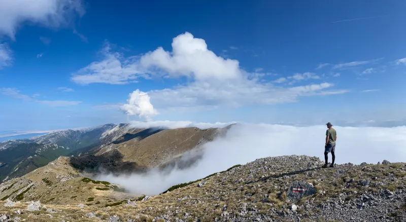
Sveto Brdo (1,751 m) offers one of the most breathtaking panoramas in all of Velebit – over the Adriatic Sea and islands, across the Croatian interior, and along the main Velebit ridge. In the distance, you can also make out Vaganski vrh (1,757 m), the highest point of the range. With good visibility, you may even spot the summit of Dinara (1,831 m) to the east – the highest mountain in Croatia.
Return by the same route.
Drive to the small parking area next to the bus stop in the village of Modrič.
You can reach Modrič by bus from Zadar or the nearby tourist town of Starigrad (Paklenica). In timetables, look for the neighbouring village of Rovanjska.
The only reliable place to refill water on the ascent of Sveto Brdo from the sea is the Donji izvor spring, which flows from a pipe just a few dozen metres below the Vlaški Grad shelter.