Jánošíkove Diery - Grand Circuit
- 05:25
- 12.5 km
- 650 m
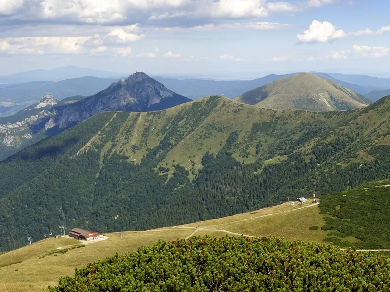
A popular hike to Veľký Kriváň, the highest peak in the Malá Fatra. Following the cable car line, you climb to the ridge and take in the views from Kriváň and neighboring Chleb. With Veľký Rozsutec in front of you, continue along the ridge to Poludňový grúň, then descend via Chata na Grúni back to Vrátna.
Set off on the green trail from the Chata Vrátna (750 m) trail junction, pass the cable car building on the left, and begin climbing the clearing beneath the cable car. Soon you will join a wider path leading across the slope into the forest on the right. A series of switchbacks takes you to a point where the path passes under the cable car again; here, turn right onto a footpath. It runs more or less parallel to the cable car and brings you to its upper station, from where it is only a short walk to Snilovské Saddle (1,524 m).
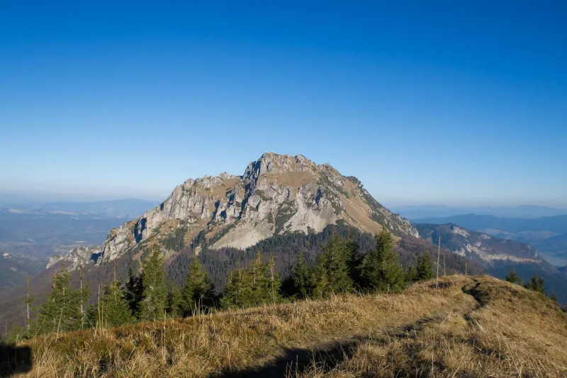
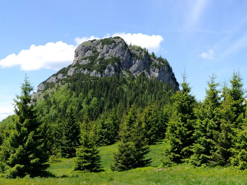
At the saddle, turn right onto the red trail and climb gradually to the junction at the ridge of Veľký Kriváň (1,650 m), where you turn left and gain the remaining elevation to Veľký Kriváň (1,709 m). From the summit, the views are immense: Malý Kriváň, Chleb and Chata pod Chlebom to its right, Stoh, Malý Rozsutec, Veľký Rozsutec, Vrátna Valley, and in good weather also Babia hora, Pilsko, Veľký Choč, Veľká Fatra, Western Tatras, Low Tatras, and more.
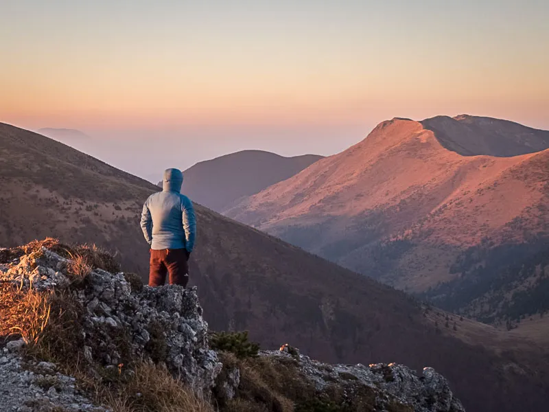
Descend the same way back to Snilovské Saddle and continue on the red trail, climbing gently through dwarf pine, with a steep slope on your left near the top, until you reach Chleb (1,646 m), another summit with excellent views.
After a short descent, you climb to Hromové (1,636 m) and cross the saddle beyond Hromové (1,600 m). Beyond it, the ridge bends left and a gentle descent follows across Steny, as this section of the ridge is known for the steep, high slopes dropping away on both sides. With only one short climb, you continue descending gradually to Poludňový Grúň (1,460 m), a summit so inconspicuous that without the sign you might not even realize you are standing on one.
This is where the ridge section of the hike ends, followed by a steep descent left on the yellow trail to Chata na Grúni (973 m), first down a broad clearing between the trees and later along a ski slope, passing a small patch of forest on the left. At the hut, take the first path on the left, still marked yellow. After a few dozen meters, you pass a spring and shortly afterward enter the forest. The path then descends gently back to the lower cable car station.