Velká Fatra Ridge Traverse
- 3 dny
- 48 km
- 2700 m
A beautiful hike that takes you to the broad grassy main ridge of the Veľká Fatra and to its highest peak, Ostredok (1,595 m). You can relax at the range’s most beautiful shepherd’s hut – the hut below Suchý vrch.
Follow the green trail out of the village into Suchá dolina to the Horná Hajabačka junction. From here, continue very gently uphill through the valley for about 2.5 km. Then the trail begins to climb beneath the massive slopes of Krížna up to Rybovské sedlo (1,317 m), at first gradually and later more steeply.
At Rybovské sedlo, turn right and follow the red trail up the grassy slope for a little over 200 vertical metres to the Pod Krížnou junction (1,530 m), then continue right for the last few dozen metres to the military transmitter on the summit of Krížna (1,574 m).
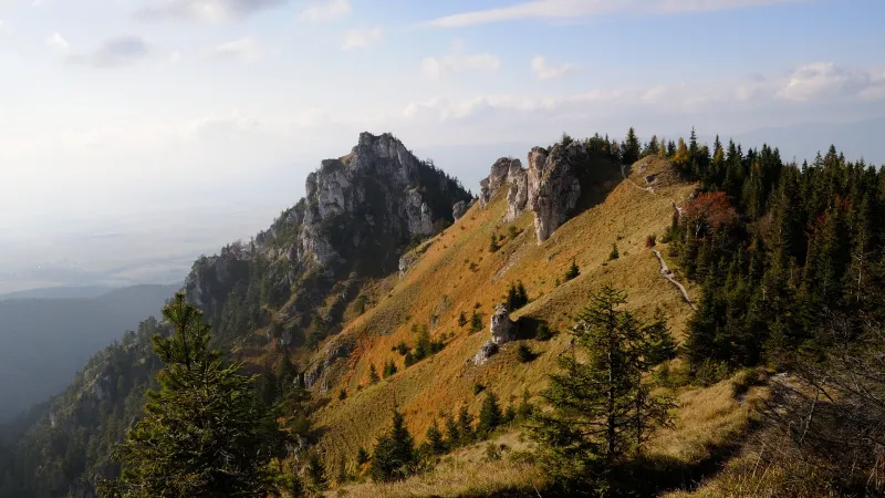
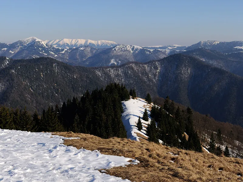
From Krížna, continue on the red trail with a short descent followed by an almost level walk along a scenic grassy ridge to the summit of Frčkov (1,585 m), which requires a climb of several dozen vertical metres. From there, it is about another kilometre along a gently rolling path to the highest peak of the Veľká Fatra – Ostredok (1,595 m).
Still following the red trail, descend gently for about half a kilometre, then cross a short rising traverse to an indistinct saddle before the rocky Suchý vrch (1,550 m). The marked trail does not go over its summit; instead, it turns left in the saddle and descends along its slope for about 150 vertical metres. Near the end of the descent, you will see on your left, less than 150 metres from the marked trail, the shepherd’s hut below Suchý vrch – a cabin open to the public, where you can wait out bad weather under its roof or spend the night on one of the beds on the ground floor or on the attic floor. There is also a working stove in the hut, so you do not need to worry about being cold at night. About 300 metres from the hut, you can collect water from the upper course of the stream.
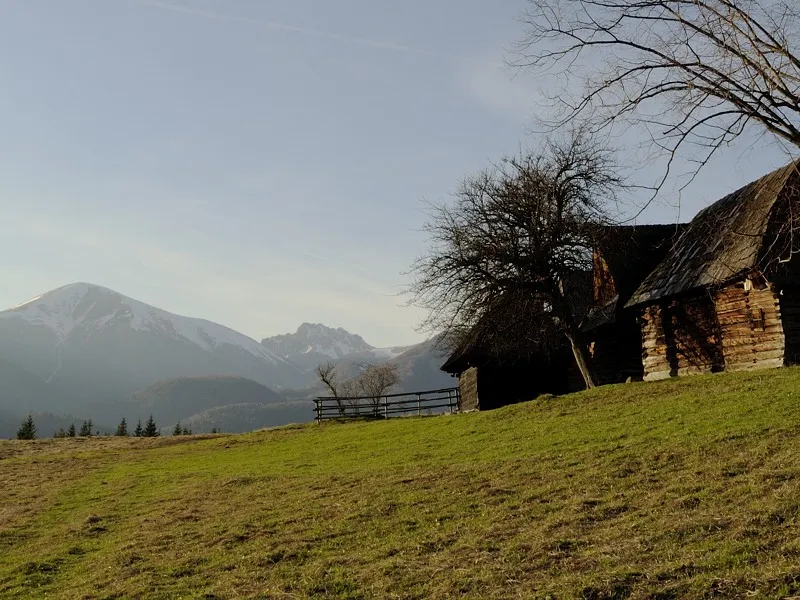
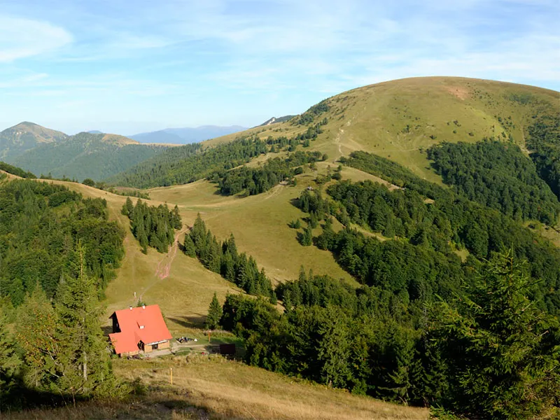
Continue on the red trail along an almost level path to the Koniarky junction (1,377 m), then descend gently, with a steeper finish, to the Chyžky junction (1,310 m). Here turn right onto the yellow trail and begin a gradual descent across a meadow to a nearby shepherd’s hut, where it is also possible to spend the night. Inside, on the earthen floor, there are several wooden benches with mattresses and a small stove. Compared with the hut below Suchý vrch, the accommodation here is a bit more basic.
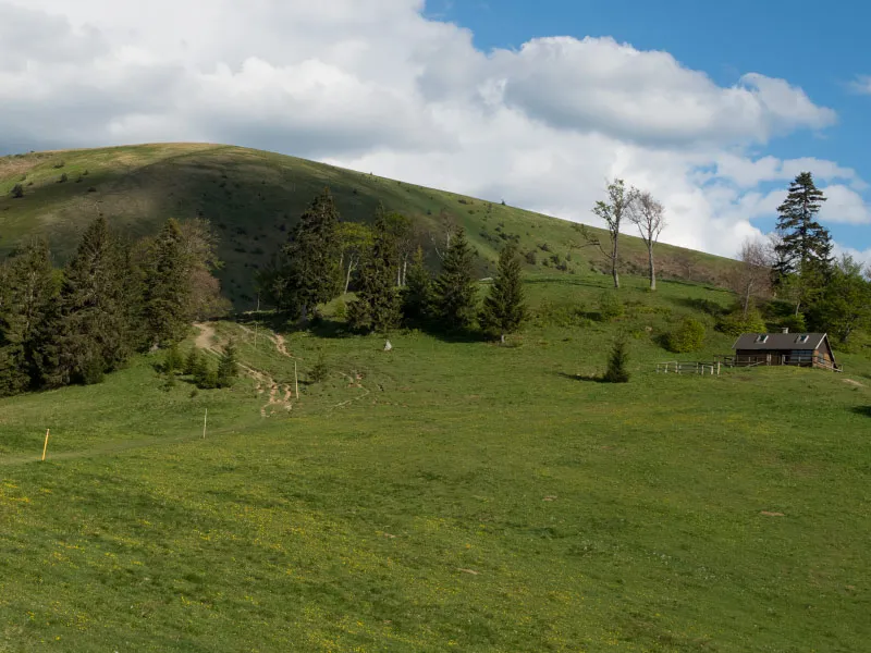
A little farther down there is another, occupied shepherd’s hut, where you can collect water from a spring. The yellow trail first heads in its direction, but after a small stand of trees it turns right toward the rocks and descends very gently across the meadow. After 200 metres it turns left, joins a forest skid road, and then descends through the forest, first moderately and later steeply. Several other tracks cross the skid road in the forest, so be sure to watch the trail markings carefully to avoid taking the wrong way.
The steep descent ends at around 900 metres on a meadow at the confluence of streams from several valleys, where you can rest on benches under a shelter. From here, only a gentle descent remains, following the stream along a paved forest road which, after three kilometres, brings you to the edge of Liptovská Revúca. The yellow trail then reliably leads you through several junctions back to the bus terminus.