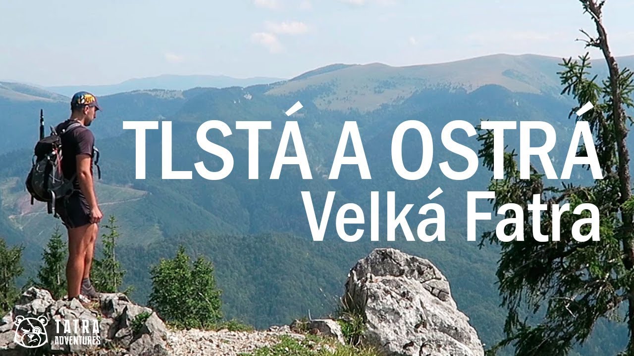
Velká Fatra Ridge Traverse
- 3 dny
- 48 km
- 2700 m
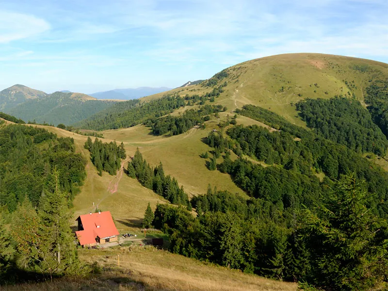
This route takes you across rock ledges hidden in the forest, past Mažarná Cave, over the broad grassy summit of Tlstá (1,373 m), and finally through a narrow rock window onto the top of Ostrá (1,247 m). A beautiful hike away from the main Great Fatra ridge, with views over the Turiec Basin, Malá Fatra, the main Great Fatra ridge, and in good weather even glimpses of Veľký Choč or the Western Tatras through the trees.
If you are starting from the village center, follow the yellow trail marker. It will lead you to the final bus stop near the parking area on the edge of the village, and a little farther on to the SNP memorial (Slovak National Uprising).
From the junction at the SNP memorial (505 m), follow the yellow-marked asphalt road into Gaderská dolina. You will pass several cottages on the opposite bank of the stream and a small parking area on your left. Continue via the Konský dol, ústie junction (515 m), still on the asphalt road, until you reach the ústie Vápennej doliny junction (525 m). Here turn right, cross the meadow into the forest, and begin climbing through Vápenná dolina.
At first the trail climbs gently, but it soon steepens and the first rock walls and ledges appear, with the path winding between them. This terrain leads all the way up to Mažarná Cave, whose wide entrance lies in a long overhanging rock wall. From the darkness inside come the sound of dripping water and the screeches of bats. Entry to the cave is officially forbidden, but if you have a headlamp in your pack—as you should—you can at least take a look inside.
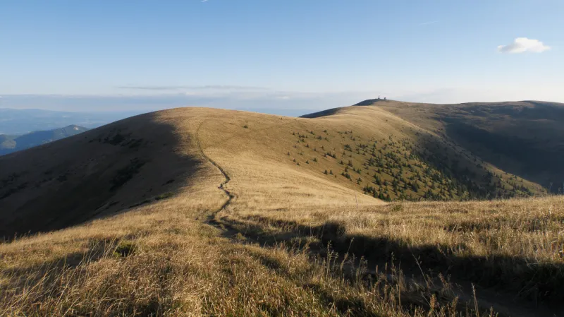
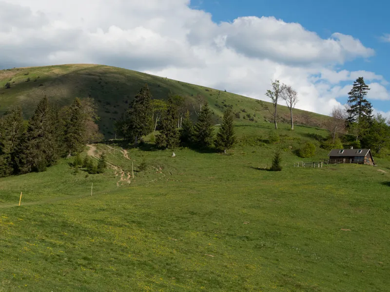
Beyond the cave, climb a few steps up to another ledge with an excellent view over the lowlands and the southern part of the Lúčanská Malá Fatra, with the unmistakable summit of Kľak. A few more rocky sections remain, some aided by chains, and then you will find yourself back in the forest. The twisting climb through the woods continues almost to the broad grassy summit of Tlstá.
From the summit itself there are great views of nearby Ostrá, the not far off Lysec, and other surrounding peaks, as well as the deep forests and part of the main ridge of the Great Fatra, Malá Fatra, and in good visibility even Veľký Choč or the peaks of the Western Tatras.
From Tlstá, continue on the green-marked undulating path, which keeps crossing from the right side of the ridgelet to the left and back again. A short distance beyond the inconspicuous top of Lubená (1,414 m), the trail turns right, drops several dozen vertical meters between limestone crags, and enters the forest again. The woodland path then rolls gently without any major climbs or descents, ending with a short ascent to Zadná Ostrá (1,254 m).
Continuing on the yellow trail, you will scramble over several rocky steps and shortly reach the junction below Ostrá (1,190 m), where the final ascent to the summit begins. Right at the start you need to negotiate a rocky section secured with a chain, followed by large rock steps. Above them comes another shorter chain-assisted section and a squeeze through a small rock window—the last obstacle before the summit, which is then only a few steps away.
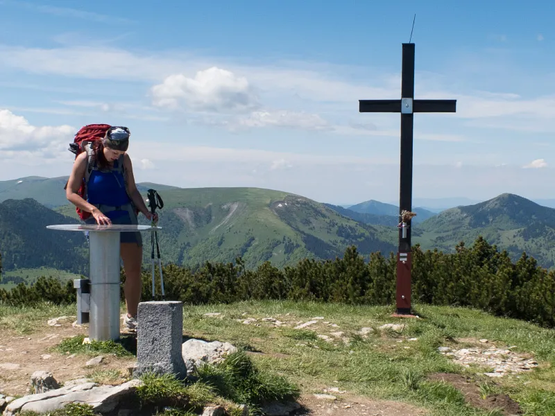
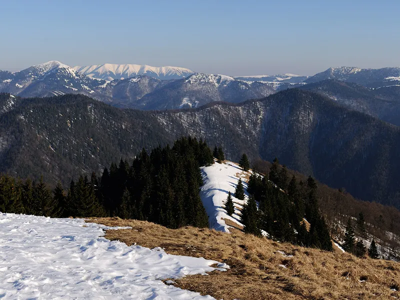
On Ostrá, just like on Tlstá, there is a metal summit box with a register full of entries from previous hikers. From the top there are beautiful views of neighboring Tlstá, the ridge back toward Zadná Ostrá with its almost bare southern slope, and behind it the main ridge of the Great Fatra. On the opposite side you can see part of the Turiec Basin and the Lúčanská part of Malá Fatra across the way.
From Ostrá, descend back to the junction below Ostrá, turn left into the forest, and continue downhill on the yellow-marked path to the Muráň junction (1,050 m). In the upper part of the descent, the correct trail is clear and passes around several limestone walls hidden in the forest. Lower down, the path becomes less distinct, so pay closer attention to the trail markings.
From Muráň, continue on the blue trail, first descending more steeply and later more gently through Konský dol. After about an hour and fifteen minutes of walking, you will return to Gaderská dolina, where you turn left and follow the yellow trail back to Blatnica.