Velká Fatra Ridge Traverse
- 3 dny
- 48 km
- 2700 m
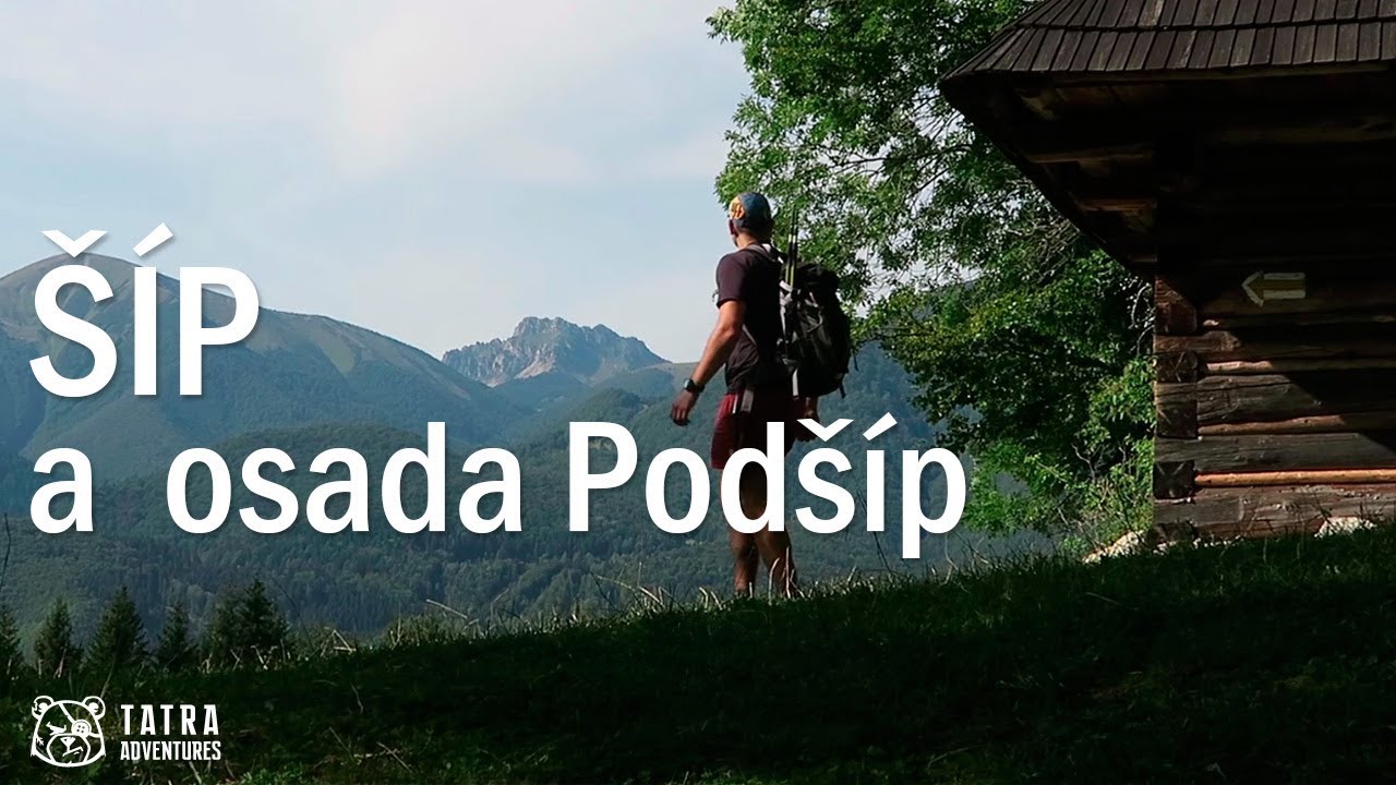
Šíp (1,170 m) rises above the confluence of the Váh and Orava rivers, between the Veľká Fatra and Malá Fatra ranges. It is one of the less-visited peaks, making it especially appealing to more adventurous hikers who prefer narrow footpaths to wide, well-trodden trails.
From Stankovany, follow the yellow-marked trail along the railway. After a short while, turn right, pass the cemetery on your right, and begin a gentle climb through the meadows above the village. Not far from the village, cross a stream and at the next junction keep right. Continue along the track, and once it bends sharply to the right, look for a path on the left where the yellow trail branches off. After about fifty minutes of walking from Stankovany, you will reach the broad pasture of Žaškovské sedlo; keep to the left side of the pasture and look for the signpost.
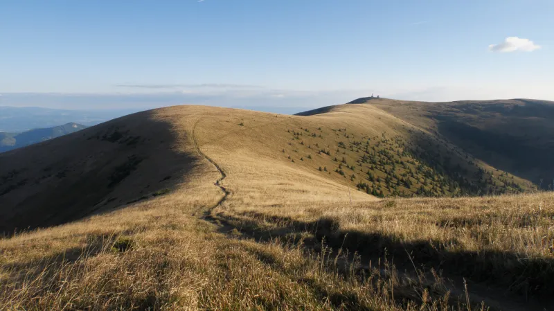
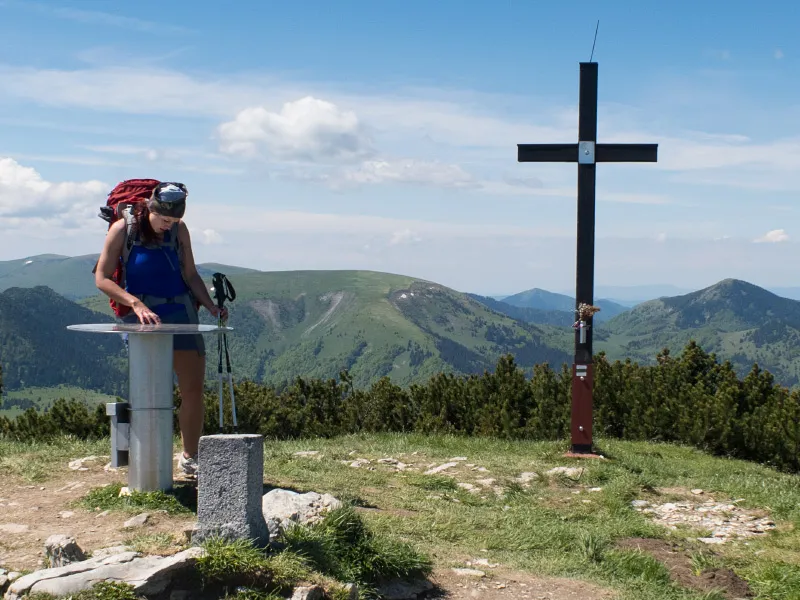
From the signpost at Žaškovské sedlo, the trail climbs through the forest, with several views opening up toward Veľký Choč and the Western Tatras. Trail marking is not ideal here, and especially in autumn, when the ground is covered with beech leaves, the route can be unclear in places. After about 1 hour 20 minutes, the path brings you to the summit of Šíp at 1,170 m above sea level. From here you can enjoy views of the Western Tatras, Veľký Choč, Veľká Fatra, and even the Low Tatras, as well as the Váh River and the villages of Stankovany and Lubochňa down in the valley.
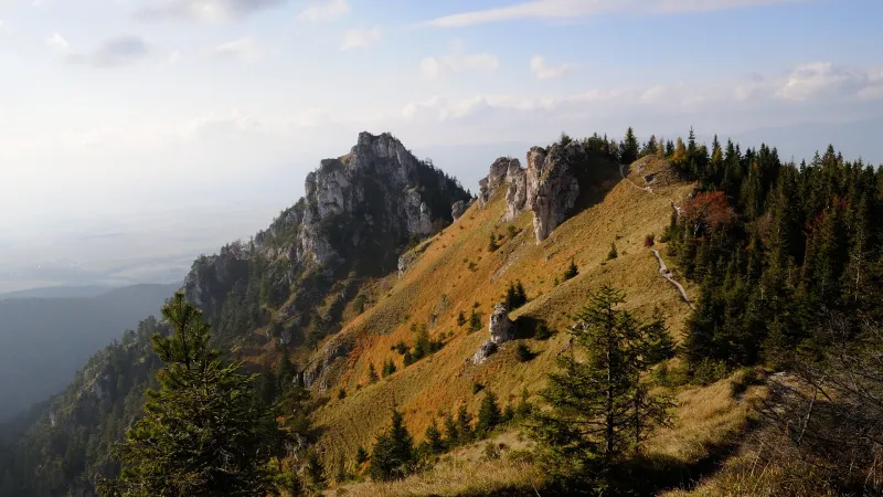
From the summit, continue on to the slightly lower Zadný Šíp. Along this roughly half-hour section, several viewpoints open up toward Kubínska hoľa and toward Veľký Rozsutec and Stoh in the Malá Fatra, and you will squeeze through a narrow rock gap on a short rocky stretch of the trail. At the top of Zadný Šíp stands a huge wooden cross, clearly visible from the villages in the valley. Directly across the valley is the summit of Kopa (Veľká Fatra).
The descent to the Podšíp hamlet is fairly steep in places and very slippery after rain. Podšíp is an old log cabin settlement where some of the cabins are still in use today, and you can still see cows grazing here. The whole place feels like stepping back in time. Electricity has never reached the hamlet, and people still fetch water from a spring. Signs in the hamlet point the way to the spring, so you too can refresh yourself with cold, clean water.
The route from here back to Stankovany is not waymarked, but an arrow on the signpost in Podšíp points you in the right direction. Once you find the path, stay on it and do not turn off anywhere. When it leads you to a forest road traversing the slope, simply cross it and continue down the footpath on the other side. The path eventually joins a track running alongside the railway; turn left and follow it all the way to Stankovany.