Roháč Lakes: a beautiful loop hike in the Roháče
- 04:45
- 14 km
- 720 m
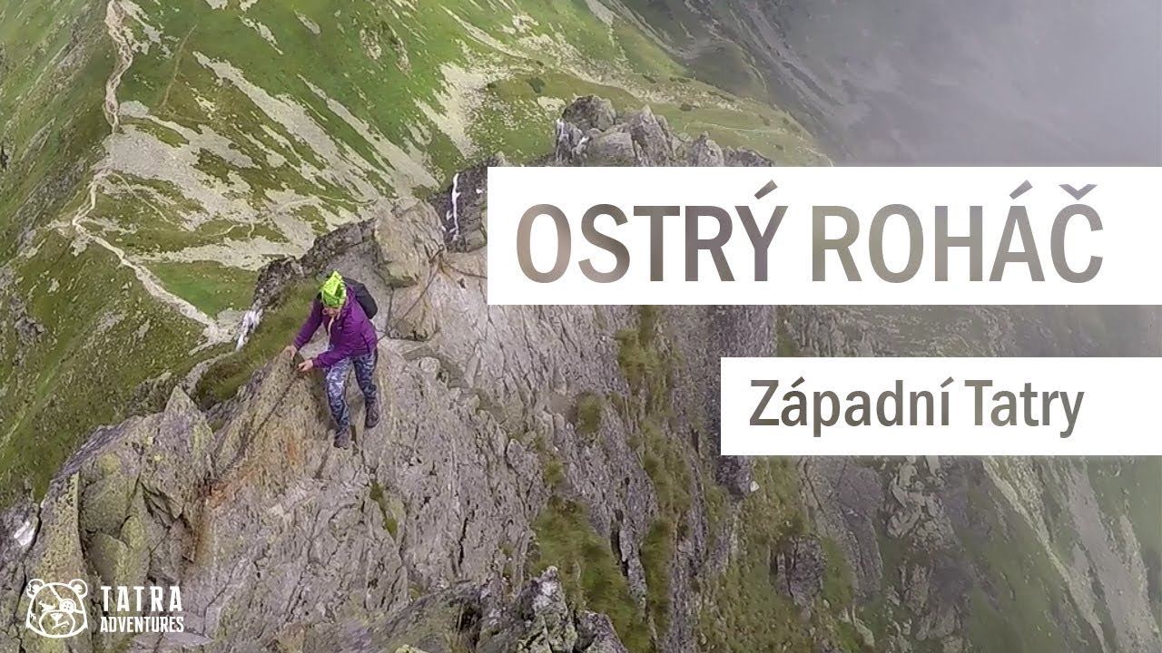
The route over Ostrý Roháč (2,084 m) and Plačlivé (2,125 m) is one of the most exciting, but also one of the toughest, ascents in the whole Western Tatras. Before you reach the summit of Ostrý Roháč, you’ll have to get past several chain-assisted sections, including the notorious summit ridge that will test your head for exposure. The climb to Plačlivé will then give your thighs a proper workout.
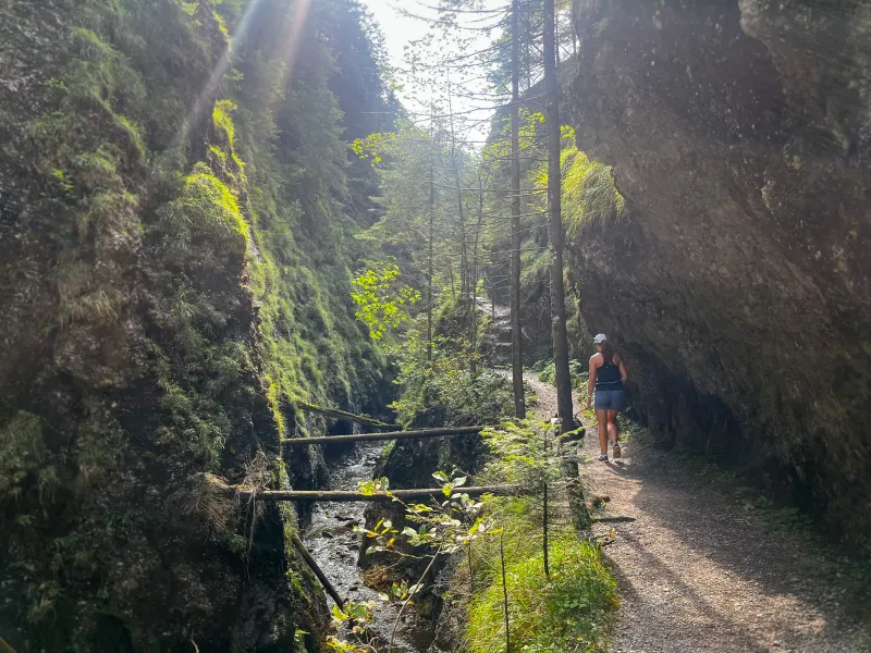
From the bus stop at the junction, follow the red trail along the side asphalt road into Roháčska Valley, where after a few minutes you will pass the Šindlovec guesthouse and, after several bends, reach Šindlovec junction (1,087 m) — a former parking area with a snack bar. If you arrived by car, you can get here from the parking lot on the green trail. Continue uphill on the asphalt road, which occasionally opens up views of the main ridge with peaks such as Tri kopy, Hrubá kopa, Baníkov and Spálená. Stay on the red trail past Adamcula junction (1,189 m) all the way to the snack bar at former Ťatliak Hut junction (1,350 m), where you can buy refreshments and sit on the benches. Behind the snack bar is the man-made Ťatliak Lake, with a beautiful view of the double summit of Ostrý Roháč and of Plačlivé.
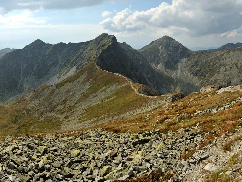
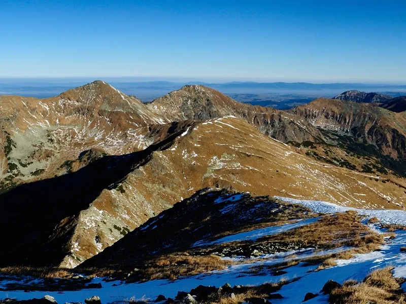
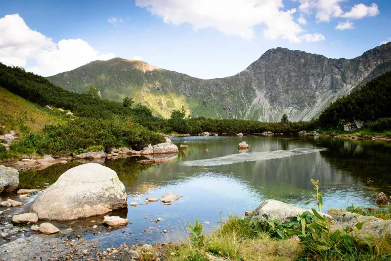
At the junction, turn left onto the green-marked forest path, which soon begins climbing steeply in switchbacks through dwarf pine to the grassy Zábrať Saddle (1,656 m). Views of the ridge opposite start opening up not far above the hut, so Zábrať Saddle is ideal for a short rest in the grass and to enjoy the panorama. From the saddle, turn right and follow the yellow trail to Rákoň (1,876 m). From Rákoň, continue uphill on the blue trail to Volovec (2,063 m), which already lies on the main ridge of the Western Tatras. From here you can also see their eastern part, the Jamnícke tarns in the valley of the same name, Plačlivé, Smutné Saddle, Roháčske tarns below Tri kopy, Hrubá kopa, Baníkov and other peaks.
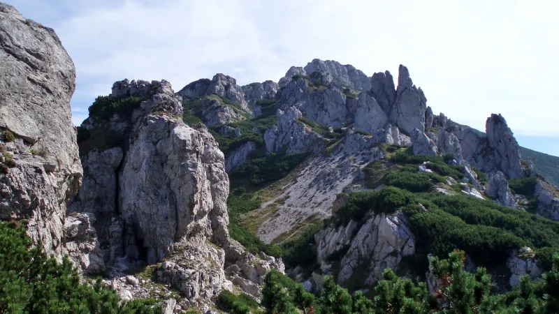
From Volovec, descend on the red trail to Jamnícke Saddle (1,908 m), from where the climb to Ostrý Roháč (2,084 m) begins. At first the route is easy, but it gradually turns into scrambling over rocks, here and there with the help of chains, until it leads you to one of the most demanding spots in the Western Tatras — a very sharp, exposed rocky ridge leading to the first summit. This is where many people first run into trouble after overestimating not only their physical abilities, but above all their mental readiness for exposure. For hikers experienced in rocky high-mountain terrain, this section should not be especially difficult.
You will encounter another more difficult chain section — this time a vertical one — on the ascent to the second summit of Ostrý Roháč. The descent also goes through rocky terrain and is fitted with chains in places, but it is not as demanding as the section around the summit. Here, most of the trickier sections can already be bypassed more comfortably on a path below the rocks. You will move through similar terrain at the start of the climb to Plačlivé (2,125 m), whose summit is about an hour’s walk from Roháč.
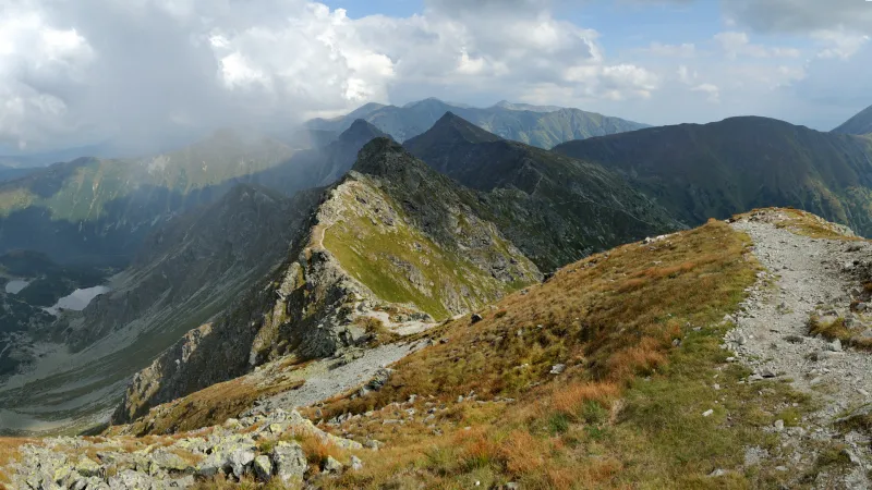
From Plačlivé, it is all downhill, still following the red trail — at first still over rocky ground, which can again be bypassed in places — over the fairly inconspicuous summit of Nohavica to Smutné Saddle (1,962 m). At the saddle, turn right onto the blue-marked trail and descend through Smutná Valley, first steeply in switchbacks, then more gently, via Smutná Valley junction (1,522 m) to the former Ťatliak Hut. A short distance before it, you can refill water from a spring on the right-hand side of the path. From the hut, continue back along the same route through Roháčska Valley to the parking lot or bus stop.