Over the chains to Ostrý Roháč and Plačlivé
- 08:45
- 20 km
- 1500 m
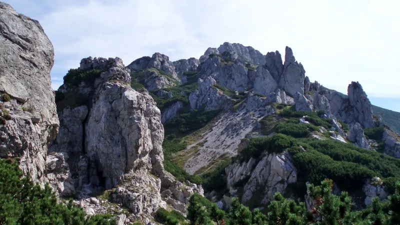
The Roháč Lakes are four glacial lakes lying at elevations between 1,562 and 1,719 metres, their surfaces magically reflecting the peaks of Volovec, Ostrý Roháč and Plačlivé opposite. This not-too-demanding hike takes you around all four lakes, and on the descent you’ll also visit the 18-metre-high Roháč Waterfall.
From the bus stop, follow the red trail onto the side asphalt road. After a few minutes you’ll pass the Šindlovec guesthouse, and after several bends you’ll reach Šindlovec junction — a former car park with a snack bar. If you arrived by car and parked below the ski resort, you can get here from the car park via the green trail. Continue uphill on the asphalt road, which occasionally opens up views of the main ridge with the peaks of Tri kopy, Hrubá kopa, Baníkov and Spálená. Pass through Adamcula (1,189 m), still following the red trail, until you reach the snack bar at the former Ťatliakova chata junction (1,350 m), where you can buy refreshments and sit on the benches. Behind the snack bar lies the artificial Ťatliakovo Lake, with lovely views of the twin summit of Ostrý Roháč and Plačlivé.
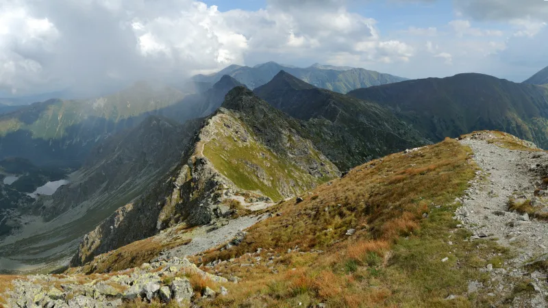
Continue on the green-marked path, which climbs gently through Smutná Valley. About ten minutes’ walk from the hut, you’ll come to a strong spring where you can refill your water. After another twenty minutes you’ll reach Smutná Valley junction (1,522 m). Turn right here and keep following the green trail as it gradually climbs to 1,562 metres, to the first and largest of the four Roháč Lakes.
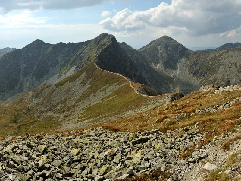
Walk around the lake on the right, then with a short climb through dwarf pine you’ll reach the second (the smallest) and third lake, which lie side by side at elevations of 1,650 and 1,653 metres. Pass both lakes on the right as well, and soon a gently ascending path brings you to the highest lake, at 1,719 metres.
The descent into Spálená Valley winds down a steeper blue-marked trail. At under Tri kopy junction (1,589 m), turn right and continue on the blue trail to under Predné zelené junction (1,473 m), where tired hikers can rest at one of several tables with benches. Just before the junction, on the right-hand side of the trail, lies a tiny unnamed tarn.
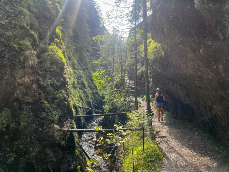
Beyond the junction, the trail enters the forest, and after about twenty minutes of descent it brings you to a wooden footbridge over the stream. A short spur from here leads to Roháč Waterfall. The waterfall is literally just around the corner and is well worth the visit. Below the waterfall there is only a short steeper descent, after which the trail widens and the gradient eases. You cross the stream via a wooden footbridge and a few moments later reach the asphalt road, which after several bends joins the main road in Roháčská Valley at Adamcula. From there, return to the bus stop or your car the same way.