Rysy - summit hike
- 07:45
- 22 km
- 1320 m
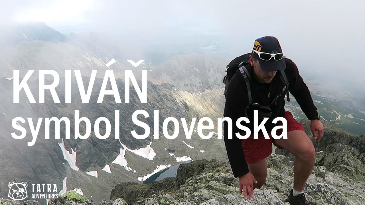
A big elevation gain, some scrambling over rocks, and stunning views of the High Tatras on one side and the Western Tatras on the other. That sums up the climb to Kriváň, one of Slovakia’s national symbols.
From the car park, head uphill along the paved road, which soon brings you to the bývalá Vážecká chata junction (1,180 m). Here, turn left and follow the green trail toward Tri Studničky. There used to be forest here, but it was destroyed by a windstorm, so today you can already see the summit of Kriváň from this point. The path gradually descends back toward the road, but just before reaching it, turn right onto another forest road, which in a few minutes leads you to the signpost in the settlement of Tri Studničky (1,145 m), a small cluster of picturesque cabins.
Still following the green trail, turn right onto a stone-paved path, pass a shelter, and begin climbing across the open slope left behind after the forest blowdown. In good visibility, you can see the ridge of the Low Tatras, including Chopok and the highest peak, Ďumbier. Once you finally reach the shade of the forest, it soon gives way to dwarf pine, so you will not be sheltered from the sun for long.
After several long switchbacks, you leave the dwarf pine behind and continue climbing on a long traverse to the junction in Krivánsky žľab (2,300 m). Just before the junction, you cross two streams where you can refill your water. Higher up, there is no water source.
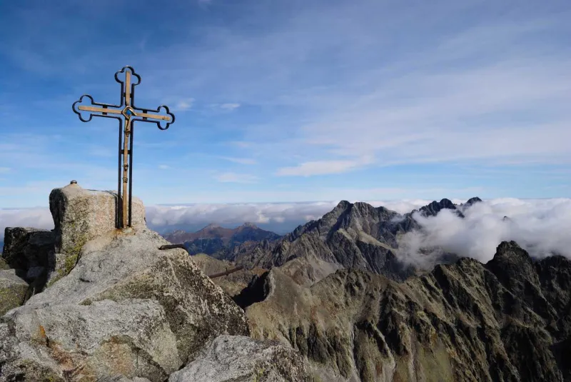
From Krivánsky žľab, continue uphill on the blue trail. In places, you will need to do a bit of scrambling and watch your footing on loose scree. This brings you up to the ridge, which you then follow all the way to the summit. The ridge route is mostly not technically difficult, although there are a few spots where you will need to use your hands. On the way, you pass the less prominent summit of Malý Kriváň (2,335 m). At the end of the ascent, just below the summit of Kriváň itself, another short scramble awaits. There are no chains here, though.
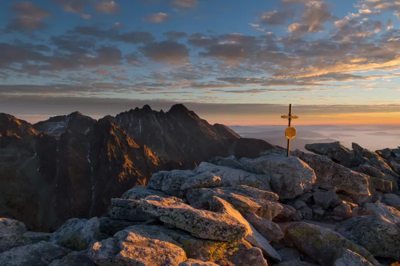
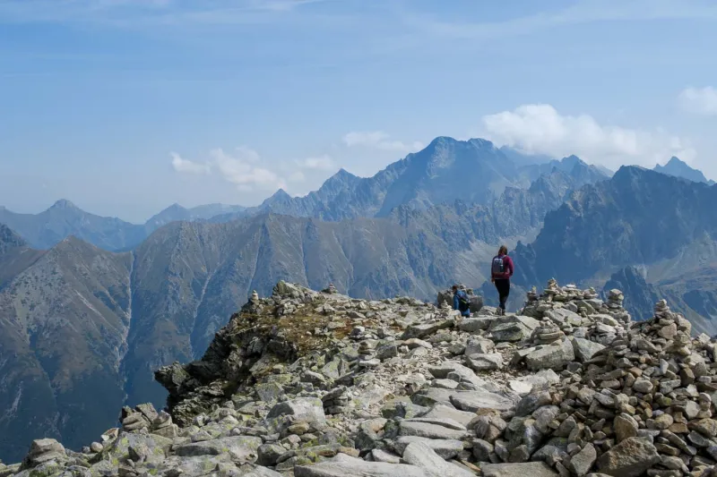
Kriváň is the westernmost peak of the High Tatras, so when you look east, you have the rest of the High Tatras spread out before you. To the west, you can see the Western Tatras, and to the south, in the distance, the long ridge of the Low Tatras. Directly below you lies Krivánske Zelené pleso, and a little farther away in the neighboring valley is Nižné Terianske pleso.
On the way back, descend to Krivánsky žľab. To avoid taking exactly the same route all the way down, turn left onto the blue trail. First on a steep rocky descent, then on a gentler traverse across Kriváň’s grassy southern ridge, you lose elevation until the trail leads through dwarf pine and forest to the Jamské pleso junction (1,448 m).
Here, turn right onto the red-marked Tatranská magistrála trail, and after a short while you reach the lake itself. Jamské pleso is not very large, but that may be exactly where its charm lies. From here, the trail continues on a comfortable descent and in about an hour takes you back to bývalá Vážecká chata, from where it is only a few more steps to the car park.