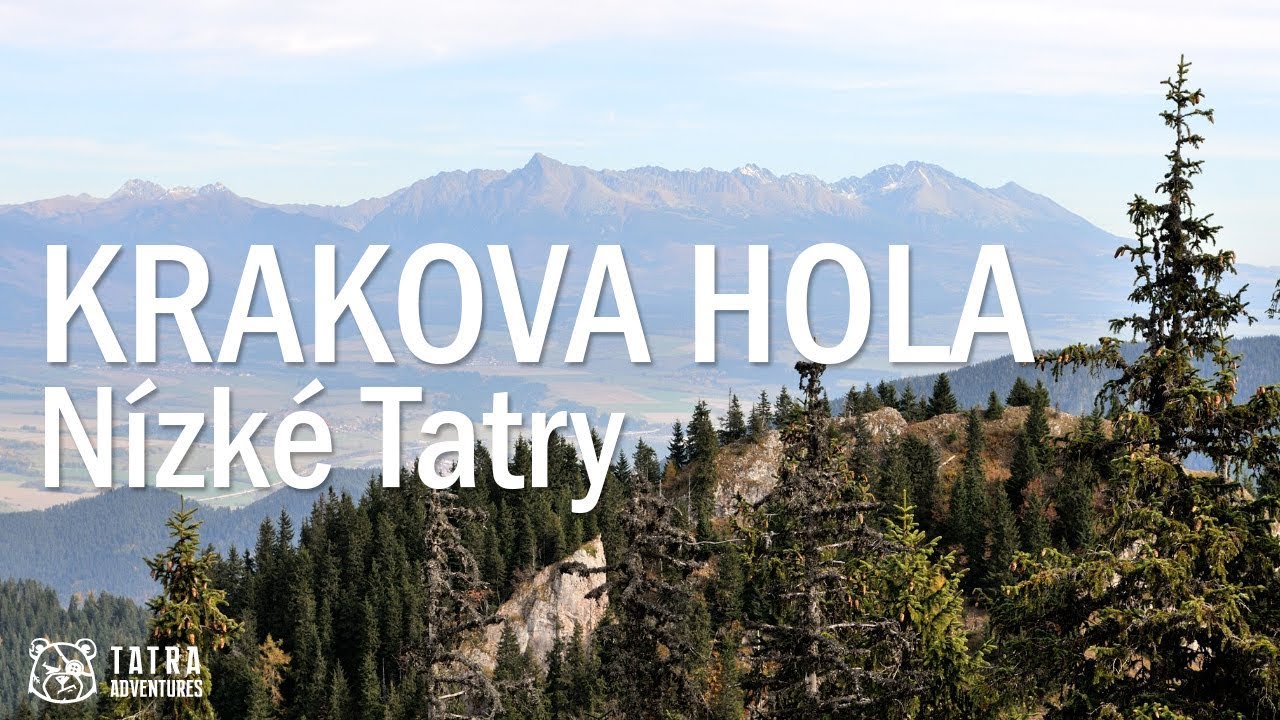
To Ďumbier by the Back Way
- 06:45
- 18 km
- 1320 m
Krakova Hola is an unassuming summit with surprisingly fine views. The ascent also passes beautiful grassy slopes below Pusté. It is not one of the most sought-after peaks, so you can enjoy a break from the crowds that are hard to avoid on more popular summits.
From the parking area, cross the bridge and follow the blue trail into the forest along a paved path. After several switchbacks, it leads to the entrance of Demanovská Cave of Liberty (cave info). On the far side of the wide open area, continue uphill on the paved path into the forest. After a few minutes, the paving ends and the route continues as a narrow footpath winding uphill through the woods, occasionally skirting rocky outcrops. Here you also leave the crowds behind. Very few people go any farther than the cave.
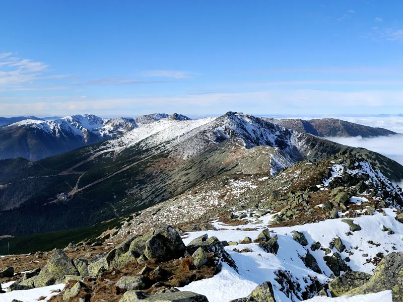
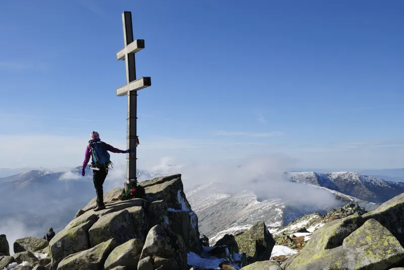
You climb about 600 vertical meters through the forest, passing two tiny mountain meadows before finally reaching grassy slopes dotted with rocks and trees. From here, the first panoramic views open up over Demänovská Valley, toward Chopok, and you can already see Krakova Hola (1,752 m) itself.
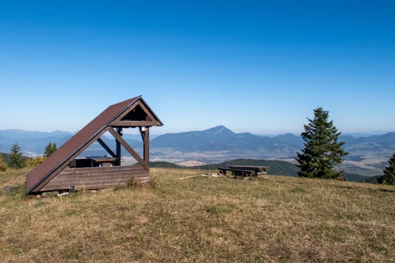
The path traverses the slope and climbs gently toward Pusté (1,501 m), though it does not go directly over the summit. Just before the short descent to Machnaté Saddle (1,450 m), there is a beautiful viewpoint a few meters to the left of the marked trail. The turnoff is unmarked, but an obvious worn path shows the way. From the viewpoint, there are lovely views of the ridge of the Western Tatras stretching behind Poludnica, as well as the High Tatras farther to the right. Through the trees, you may also catch a glimpse of Liptovská Mara.
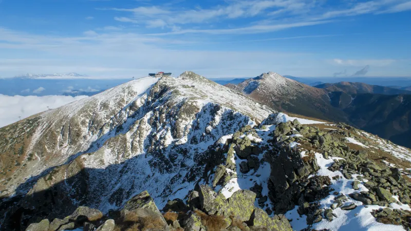
Continue with a short descent to the junction at Machnaté Saddle (1,450 m), then stay on the blue trail along the wooded ridge. Before long, the trail reaches a clearing, and from its edge you start climbing into dense dwarf pine that covers Krakova Hola. Along a path cut through the dwarf pine, you continue gently uphill to the junction below Krakova Hola (1,730 m), from where it is only a short detour of about five minutes to the summit viewpoint.
As before, you will see the Western Tatras and the High Tatras. In the distance, you may also spot Veľký Choč and, in good visibility, even Malá Fatra or perhaps Babia Hora and Kubínska Hoľa. On the other side, beyond the dwarf pine, you can see the main ridge of the Low Tatras with the peaks of Chopok and Ďumbier.
If you do not like returning the same way, descend from the junction below Krakova Hola on the yellow trail via Kosienky, Polana (1,650 m) to Javorie Saddle (1,487 m). From there, follow the red trail down across a huge ugly clear-cut to the remaining forest, where you will join the original paved path. It soon leads to a forest track, and after a few more minutes you reach a wider open area where you need to watch carefully for a turn right into the forest. Shortly after, you come to another large clearing and descend on the forest track to the footbridge over the stream near the junction pod Krčahovom (1,060 m).
The green trail then leads downhill along a wide forest road for about three quarters of a kilometer before turning right onto a footpath. It takes you along the edge of a meadow to the bus stop at the junction Lúčky, chata (930 m). If you need to get back to your car, you can ride the bus one stop, or continue on the green trail and walk the remaining just under two and a half kilometers back to the parking area.